
The usual view of the San Antonio River is the cement version in the downtown area where you can dine on the banks and watch the tour boats motor by. A little farther toward the southeast you get a different picture of the river.
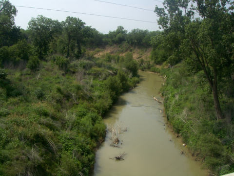
Many times in the drier season, it is difficult to find water in the river. At other times it is quite the reverse. We’ve seen river levels rise 40 to 50 feet in this area. Friends of ours in the vicinity experience floods every few years, on a regular basis.
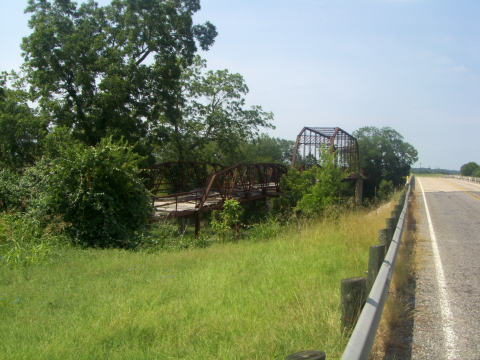
On FM 775, just off US 181, about 20 miles southeast of San Antonio, TX, we can only be glad that progress has included a new bridge over the San Antonio River.
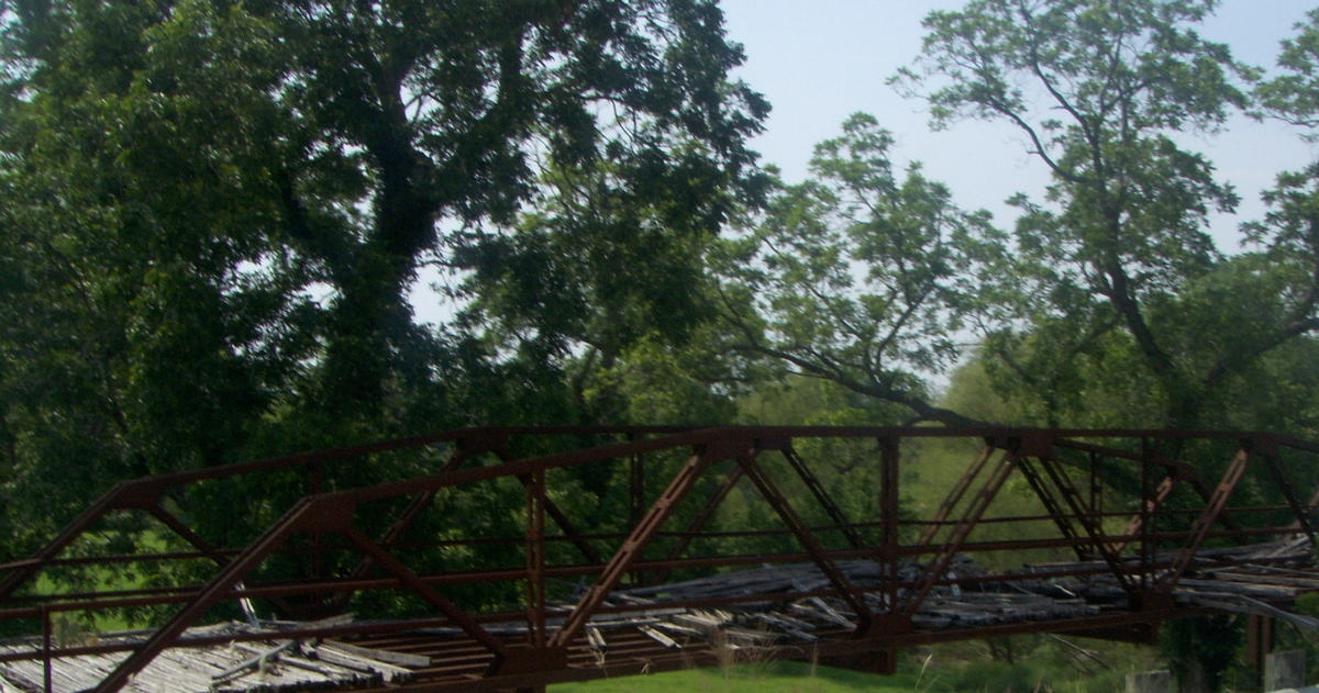
What’s keeping it up?
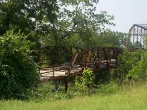
One can only wonder how many times those boards were replaced after being knocked out by high water. (Click on picture for close-up)
hola! I enjoy catching up on your blog. Pictures are always good and having lived in texas many years ago, I am enjoying the current info.