
The Bolivar Peninsula was named for Simón Bolívar, the South American hero, is a “barrier island” stretching twenty-seven miles along the Texas Gulf Coast to form eastern Galveston County. One of the oldest settled places in Texas, the peninsula’s earliest occupants included Jane Long “the Mother of Texas”, her husband and his soldiers, and at other times many members of the pirate crews of both Louis Aury and Jean Lafitte. (You can CLICK HERE for more history information.)
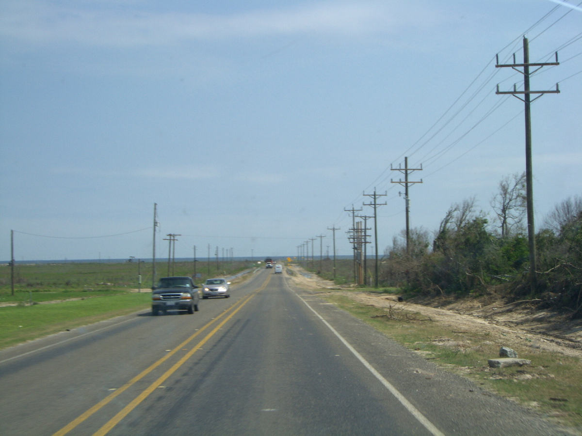
Aside from being historical, Bolivar has been one of our favorite beach destinations for years. On our way back from Dallas, we decided to take the long way back and take a look at the remaining damage from Hurricane Ike at Bolivar and Galveston. (We wrote about the area in June-2007 and August-2008)
Our route took us around Houston and east on I-10 to the town of Winnie. Winnie is about 20 miles from the coast, but the damage that we saw there was impressive. Several business remained closed. The gas station that we selected had several of its fuel pumps still laying on their sides.
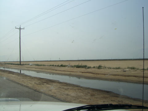
From Winnie, we headed south to the coast. We were amazed to see debris in the trees at about a 10-foot level. We were still 15 miles from the water. There had been quite a bit of rain recently so the coastal plains looked a little swampy.
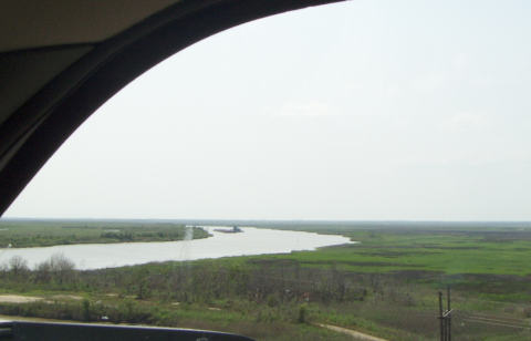
A few miles north of the coast, we crossed the Intracoastal Waterway. From the bridge we spotted a barge being shoved around the bend.
Then we approached the town of High Island which is widely known as one of the premier bird watching locations along the coast. At about 33 feet above sea level, the town didn’t fare too well from the 20-foot storm surge topped by 20-foot waves from Hurricane Ike. Many of the homes still await repair.
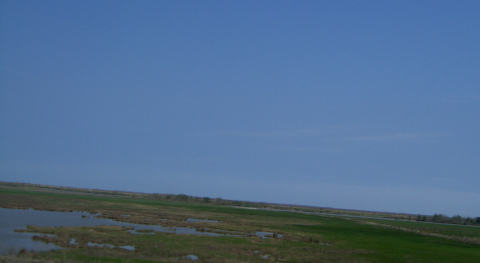
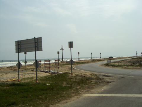
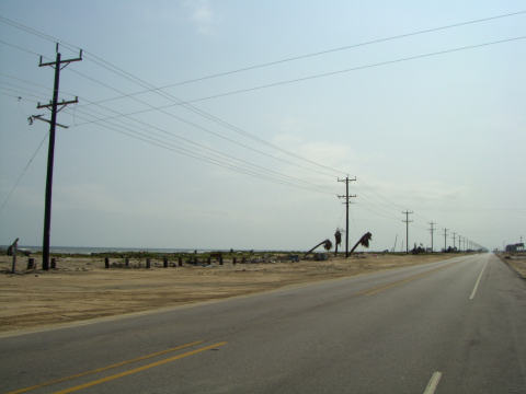
As we left High Island and drove the final mile to the coast, we were surprised by the view. Normally at this point the water is not visible because of the large sand dunes that protected the coast.
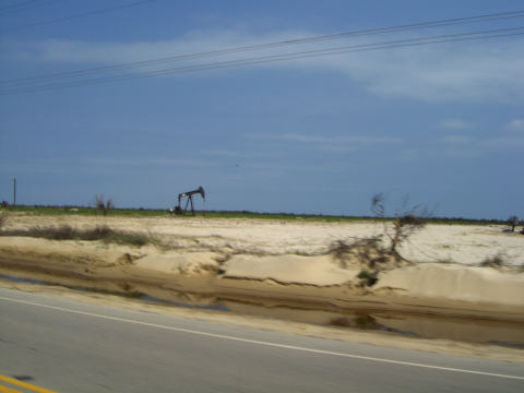
When we reached the coastal road, nothing. The dunes were gone.
There was evidence that the dune sand had been deposited across the road on what used to be pasture land.
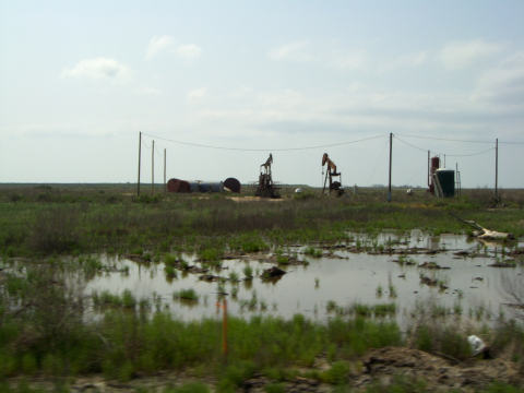
Don’t feel to sad for the farmers, the oil wells were pumping wildly.
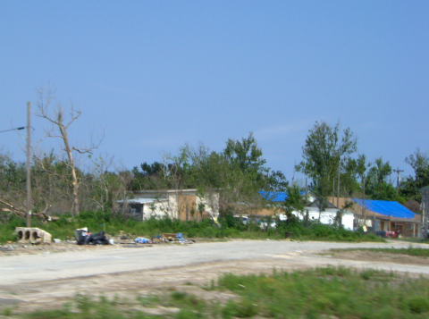
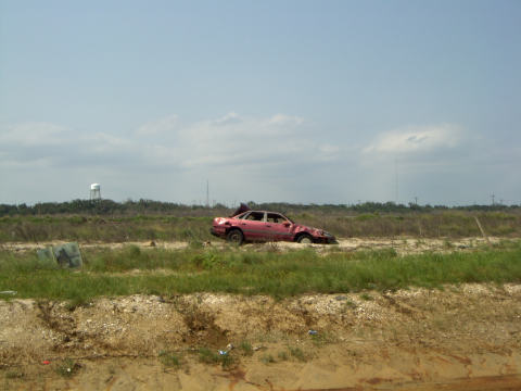
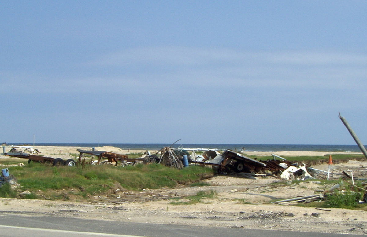
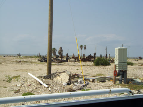
The Bolivar Peninsula runs about 27 miles west toward Galveston Bay. There were two major towns on the peninsula, Crystal Beach and Gilchrist. Gilchrist has always been our choice to park our RV. As we approached the “town”, we were amazed. We used to see large numbers of beach homes in neighborhoods along the south side of the road and a few demo models on the other side. Here was what we saw.
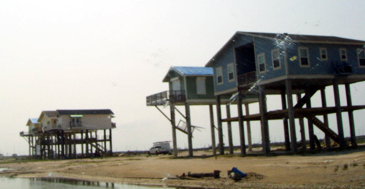
Click on the picture for a closeup of the three story model homes. Their extra story was all that saved them.
What is left of the typical home is a pond, some supports, and septic tanks.
Otherwise, not much left.
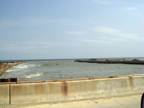
Here’s what is left of the Quality RV Park which was located on the beach and along a “cut” or fishing channel that accessed the bay side.
Here’s what is left of the RV park on the other side of the road.
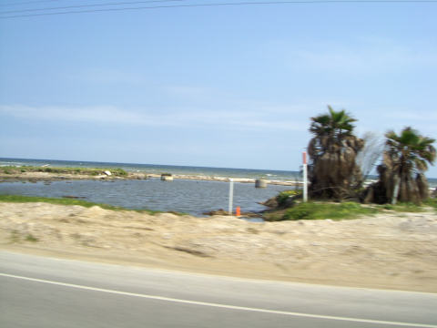
People are still fishing at the “cut”.
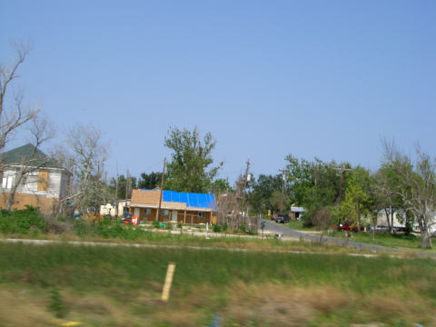
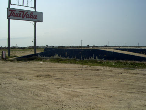
After crossing the cut, we head south to Crystal Beach. We notice that the True Value Hardware didn’t fare well. This is where we shopped for our fishing supplies.
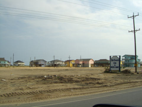
Crystal Beach fared much better than Gilcrest. Unfortunately our favorite restaurant and home of the best crab nachos, DeCoux’s Restaurant and Pub, bit the dust.
The main grocery store had a sign up that they had just opened. We didn’t catch a picture of it, but we spotted a 5th wheel along side the road with a grocery store sign on it. Some industrious individual filled a need with his trailer. I guess he can close up business now.
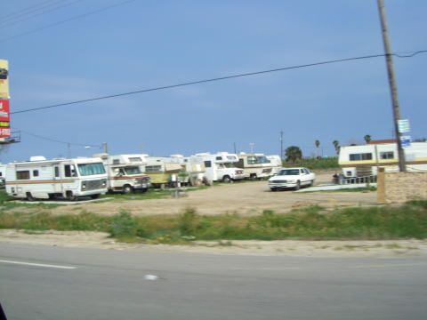
Makeshift RV parks are cropping up to house the property owners and workers.
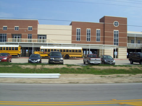
It appears that the only school on stilts that we have seen has survived.
We headed on to the ferry for our trip to Galveston. We’ll pick up our story there on our next update.
We too drove down Bolivar and saw that they are still hauling off trash and debris over 6 months since Ike. It was very sad to see the devastation.
We drove down in March. It was amazing how much still had not been cleaned up. We know everyone there and outside volunteers have been working relentlessly to rebuild. It goes to show how bad things were right after Ike hit. We plan on going back this month, even for a weekend to see how our favorite place is faring. Really sad but full of hope!
At least they are making more progress than they did in New Orleans over the same period of time. And, I might add, without all the whining and begging that came with Katrina. I’m afraid that without restoring the Bolivar dunes, the risk of more damage is just a matter of time.