We made it to Blythe, CA around 1:30 PM and it was hot, hot hot. It was supposed to get up to 106 degrees. As Paris says, Thats hot. That is not the way she means it though. We had a whole afternoon to do something so we got on the internet to see if there was anything to see in Blythe.
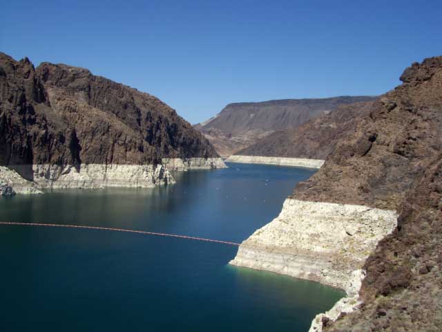
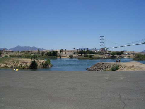
First choice could be the Colorado River which is right by our campground.
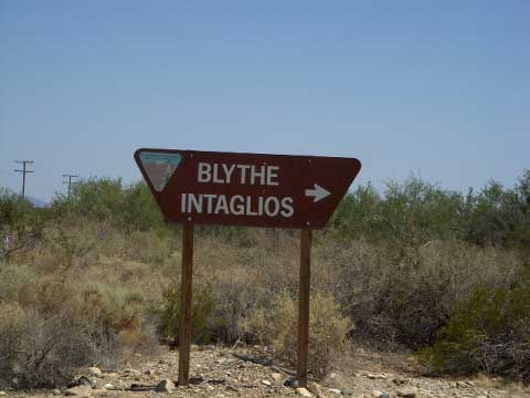
Lets see what else there is to do in Blythe. Oh, there is the Blythe Intaglios! As we were driving into town we saw a little sign saying Blythe Intaglios but nothing big like advertising it like a touristy thing.
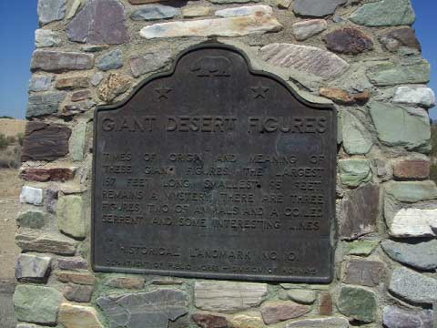
It is Indian drawings on the ground that is best viewed from the air. We read all about them.
So what do two 60ish, overweight, out of shape, grown ups (?) do in the 106 degree weather? Get out and hike in the middle of the hottest part of the day, and view the sights.!!!!!!!!
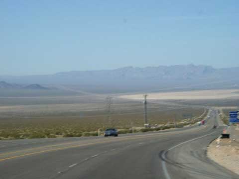
We drove back along the road we had just come into town on for about 15 miles. We turned off onto a dirt and rock road. It was the bumpiest, rockiest road possible… The place is maintained (?) by the Dept. of Interior. They must be trying to discourage people from coming out to look at the drawings. The road had a post fence on both sides so you couldnt get off the path. Then in the distance we see a fenced in area. We park, take our water with us and hike to the area. The drawing showed up better upside down from top to bottom.
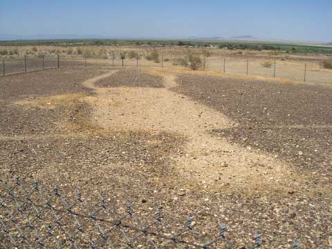
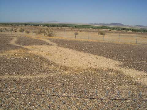
There are over 300 of these Intaglios in the southwest and the best known are here in Blythe, CA. They said there were 6 where we were but we could only see 4. So we continue along the rocky road. There is a small mountain that has paths going up the side. We thought maybe the other 2 were on top or could be seen from the top. There is no way Rick can hike up that mountain with his bad back so Tinka volunteers to hike up and look around.
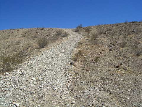
Half way up Tinka started thinking about rattlesnakes and what would happen is she got bit. Then farther up the mountain she decided there was probably someone or something up at the top that would say Surprise you fool, there is nothing up here. And there wasnt!!!!!!
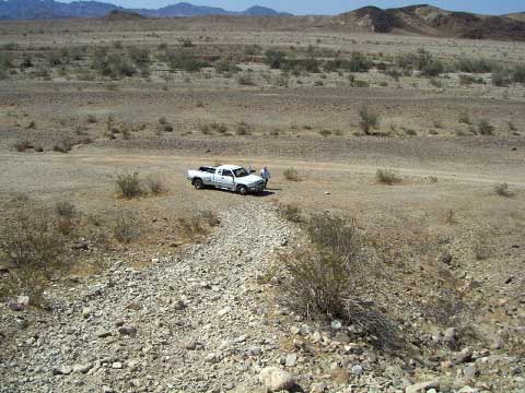
The Colorado River could be seen from where we were so we figured the Indians had lived along the banks and walked over here to do their art work. While we were hiking Rick said I think the Indians did these drawings out of boredom.
When we returned to the campground we pulled up this website that the writer had basically come to the same conclusion.
This website was put together by a pilot and his photographs.
http://ronkilber.tripod.com/geoglyphs/geoglyphs.htm
This gives you photographs and some information.
http://www.jqjacobs.net/southwest/blythe.html
If you have Google earth you can go here and see them from the air.
N33 48 02.25
W 114 32 17.90
